Table of Contents:

A guide to Manaslu Circuit Trek with Tsum Valley
Everything You Need to Know about Manaslu Circuit Trek
About the Manaslu Circuit Trek with Tsum Valley
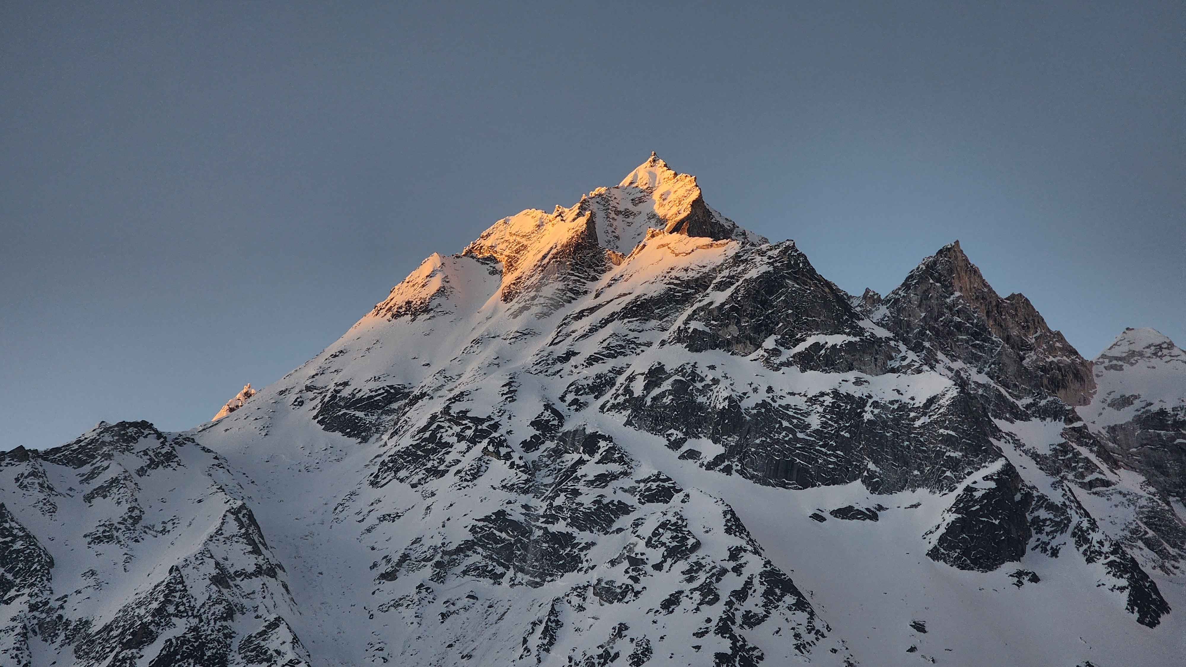
The Manaslu Circuit Trek is a full loop around Mount Manaslu, the eighth highest mountain on earth, run through a restricted border region that most trekkers in Nepal never see. This version of the Manaslu Circuit Trek adds the Tsum Valley, a separate restricted zone that branches off the main route at Lokpa, climbs into a hidden Buddhist valley, then rejoins the classic circuit for the push to Larkya La.
The trek moves through two different worlds without rushing between them. Lower down, the trail runs through Gurung villages, terraced rice fields, and small roadside shrines that feel close to the rest of rural Nepal. Past Lokpa, that changes completely. The language shifts to Tsumba and Tibetan dialects, prayer wheels take the place of temple bells, and daily life visibly slows down to match the thinning air.
Where is Manaslu Circuit Trek Located?
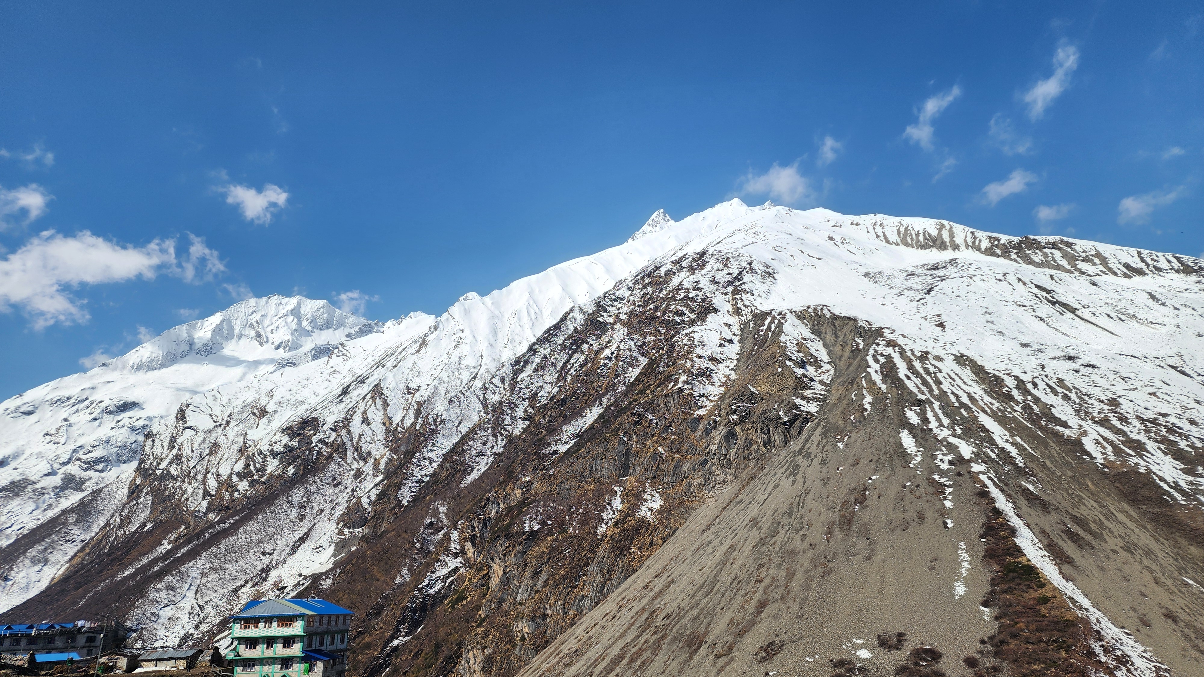
The Manaslu Circuit Trek sits in Gorkha District, Gandaki Province, inside the Manaslu Conservation Area, a protected zone of roughly 1,663 sq km running along the Nepal-Tibet border and ranging from around 600m to the 8,163m summit of Manaslu itself. The route follows the Budhi Gandaki River north from Machhakhola into the Nubri Valley, loops into Tsum Valley and back, then continues north to Samagaon, Samdo, and Larkya La before dropping into Annapurna Conservation Area territory on the far side.
How Hard is the Manaslu Circuit Trek?
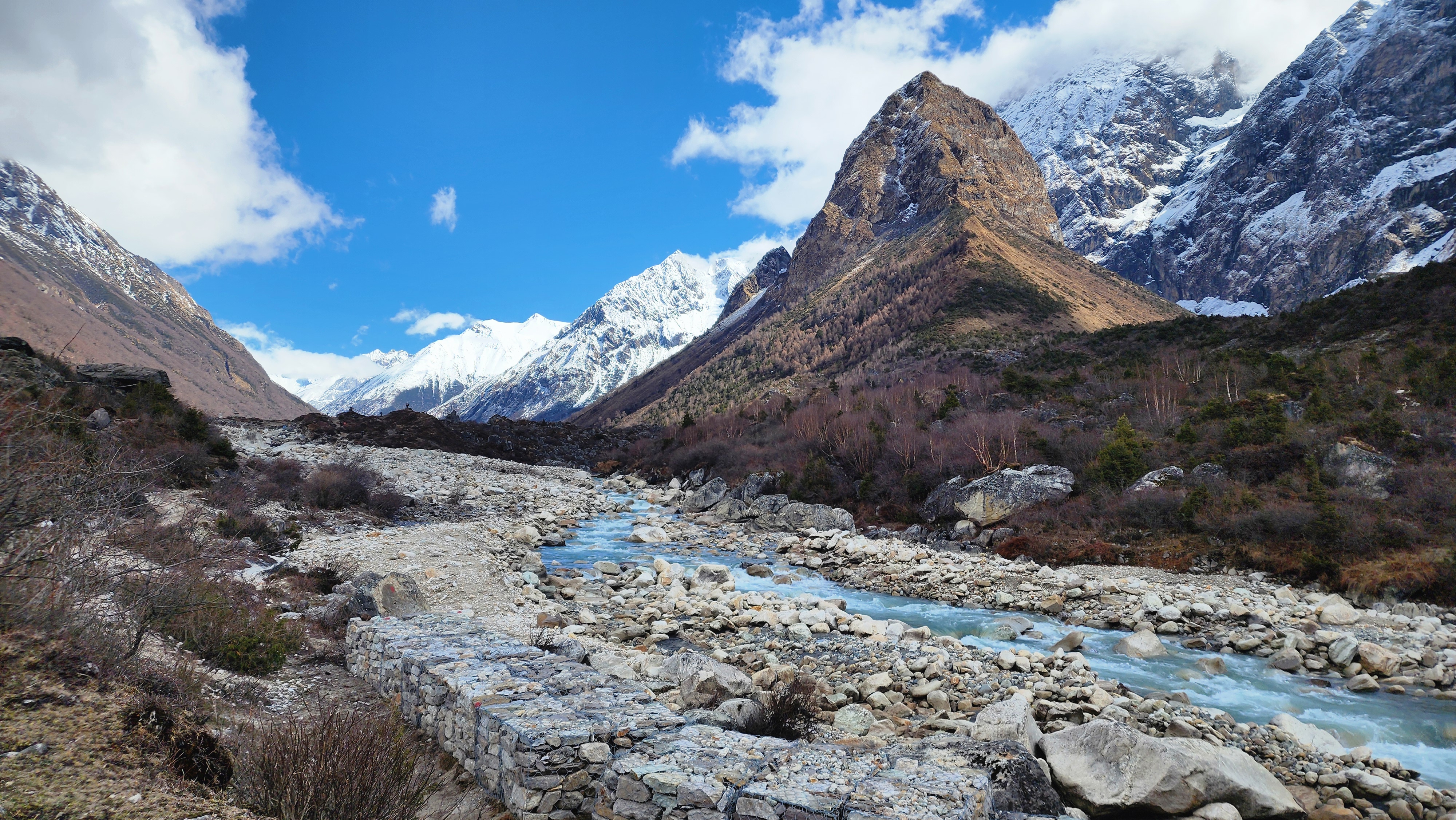
The Manaslu Circuit Trek with the Tsum Valley extension is harder than the classic circuit alone, mostly because of remoteness rather than technical difficulty. Expect 5 to 8 hours of walking most days for close to three weeks, altitude up to 5,106m, and a level of isolation where a genuine problem means a multi hour response, not a walk back to a road.
Trek | Max Elevation | Nights Above 3,500m | What Sets It Apart |
Manaslu Circuit Trek + Tsum Valley | 5,106m | 6 to 7 | No bailout between Dharmasala and Bhimthang |
5,545m | 6 to 8 | Higher, but far more infrastructure and traffic | |
~5,535m | 10+ | Most demanding standard trek in the Everest region | |
5,416m | 4 to 5 | Road access has cut into the remoteness | |
4,130m | 1 to 2 | The most forgiving high altitude trek in Nepal | |
6,476m | 4 to 6 | Needs a climbing guide, not just a trekking guide | |
Langtang Valley | ~4,984m | 1 to 2 | Similar exposure on a shorter, cheaper trip |
3,210m | 0 | Minimal risk, the standard beginner trek |
Who the Manaslu Circuit Trek is right for: trekkers who have already done at least one high altitude multi day trek and want real remoteness on the next one. If Annapurna Base Camp or Poon Hill was your only Himalayan trip so far, the Manaslu Circuit Trek is a large step up, not a natural next one. If you have done Everest Base Camp or the Annapurna Circuit and found yourself wishing there were fewer people on the trail, this is that trek.
Manaslu Circuit Trek Itinerary
This is the full Manaslu Circuit Trek itinerary in table form, so you can plan without reading the whole page. What actually changes how each day feels is in the full breakdown below.
Day | Route | Distance | Elevation | Time |
1 | Arrival in Kathmandu | - | 1,310m | - |
2 | Drive to Machhakhola | 156km road | 869m | 7 to 8h |
3 | Machhakhola to Jagat | 22km | 1,340m | 6 to 7h |
4 | Jagat to Lokpa | 17km | 2,240m | 6 to 7h |
5 | Lokpa to Chumling | 8km | 2,386m | 4 to 5h |
6 | Chumling to Chhokangparo | 13km | 3,010m | 5 to 6h |
7 | Chhokangparo to Nile | 10km | 3,360m | 4 to 5h |
8 | Nile to Mu Gompa and back | 12km RT | 3,360m | 6 to 8h |
9 | Descend to Chhokangparo | 18km | 3,010m | 6 to 7h |
10 | Chhokangparo to Lokpa | 25km | 2,240m | 6 to 7h |
11 | Lokpa to Deng | 13km | 1,860m | 5 to 6h |
12 | Deng to Namrung, via Ghap | 19km | 2,630m | 6 to 7h |
13 | Namrung to Shyala | 16km | 3,500m | 5 to 6h |
14 | Shyala to Samagaon, via Pungyen Gompa | 12km | 3,530m | 5 to 6h |
15 | Acclimatization in Samagaon | up to 16km RT | 3,530m | up to 8h |
16 | Samagaon to Samdo | 8km | 3,860m | 3 to 4h |
17 | Samdo to Dharmasala | 12km | 4,460m | 4 to 5h |
18 | Dharmasala to Bhimthang, via Larkya La | 24km | 3,720m | 8 to 10h |
19 | Bhimthang to Gho | 13km | ~2,560m | 4 to 5h |
20 | Gho to Tilje, drive to Pokhara | 9km + 145km road | 820m | 3h walk + 6h drive |
21 | Pokhara to Kathmandu | 200km road | 1,310m | 6 to 7h |
22 | Departure | - | - | - |
Manaslu Circuit Trek Day by Day
Day 01: Arrival in Kathmandu
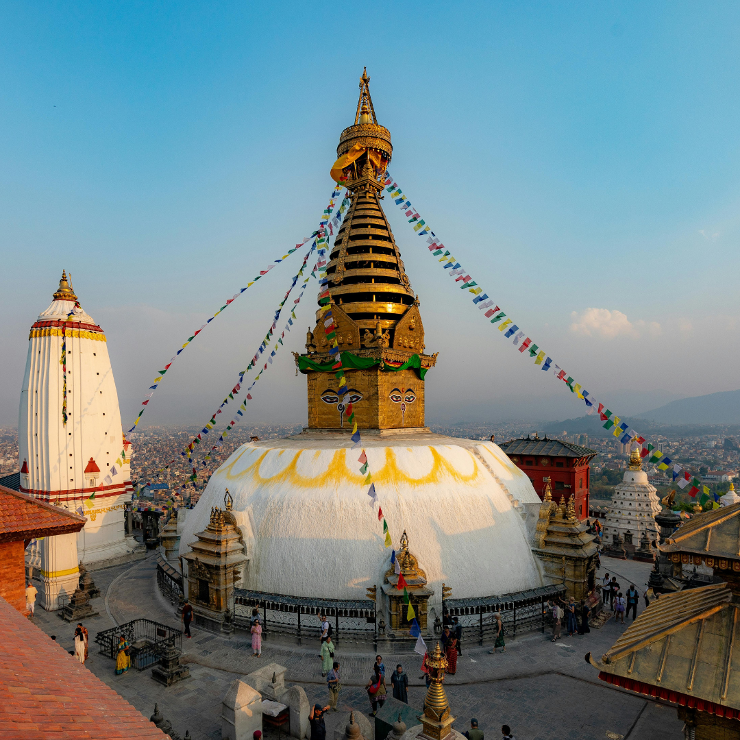
You land at Tribhuvan International Airport. Our representative is in the arrivals hall with a sign. From here, it is straightforward.
Kathmandu sits at 1,310 m. Acclimatization starts the moment you arrive, which is one of the reasons the itinerary begins this way. The city is doing useful work before the trek even begins.
In the evening there is a pre-departure meeting with your guide. This is where the route gets explained in detail, any last gear questions get answered, and you find out exactly what the first days on trail look like.
After the meeting, a welcome dinner. Then rest. Tomorrow is a long drive.
Note
If you need to rent or buy any gear, Thamel has everything. Trekking poles, sleeping bag, liners, base layers, gaiters, micro spikes. Do it today before you are pressed for time. Prices in Kathmandu are cheaper than anything you will find on trail. Plus, your lead guide will be at hand to assist you with everything you need to rent or buy for the trek.
Day 02: Kathmandu to Machhakhola
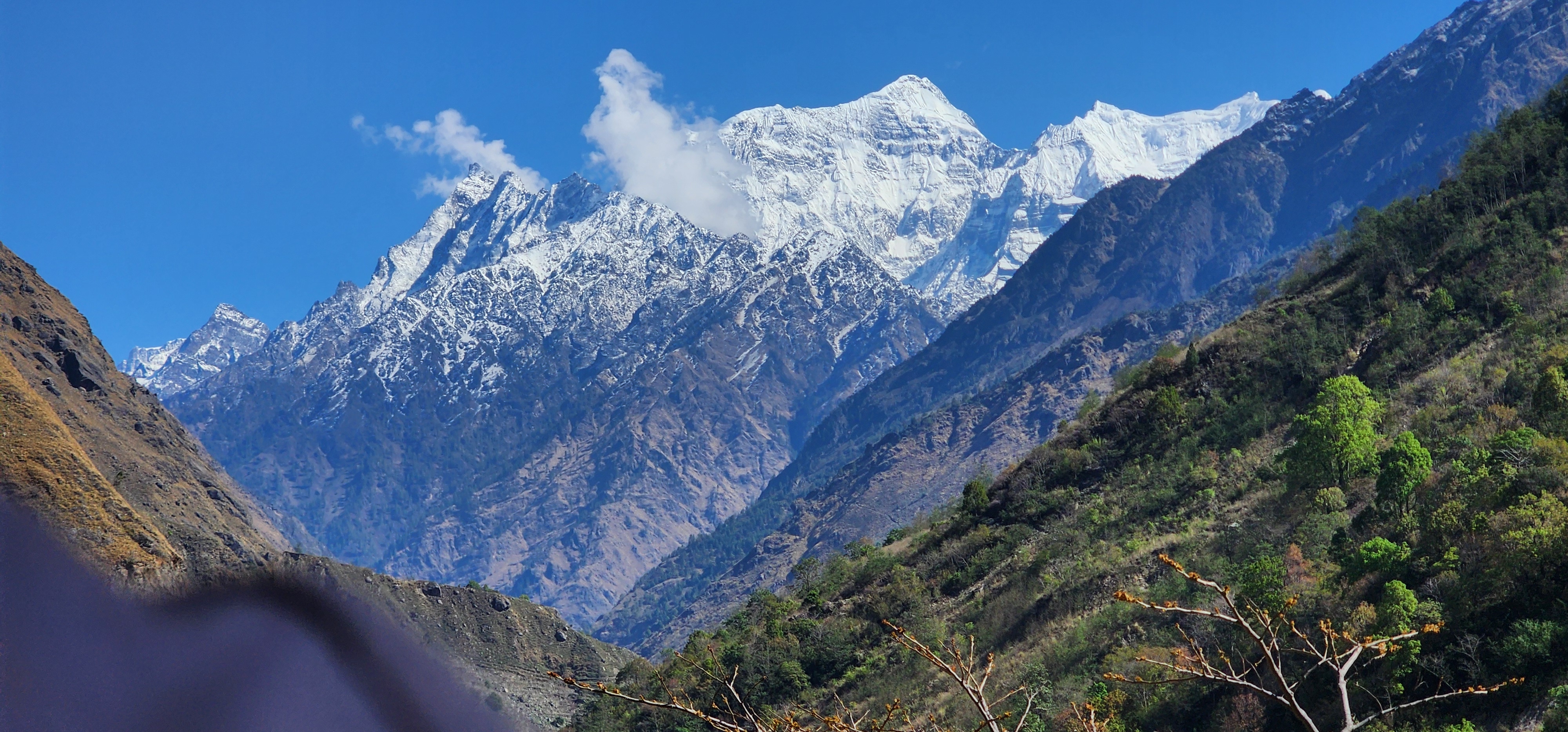
The drive out of Kathmandu on the Manaslu Circuit Trek runs through Dhading and Arughat on the Prithvi Highway before turning onto the narrower Budhi Gandaki Road, a mix of paved stretch and rough gravel track that a jeep handles far better than a bus. Somewhere past Arughat the country changes character. Terraced hillsides replace city sprawl, the road narrows into a single lane cut along the hillside, and the river below turns the pale, milky blue that glacial melt produces further upstream.
Machhakhola is warm, sometimes uncomfortably so in April, sitting low in a wide, open river valley still thick with subtropical vegetation. This is the last night on the whole trip that feels close to lowland Nepal.
Day 03: Machhakhola to Jagat
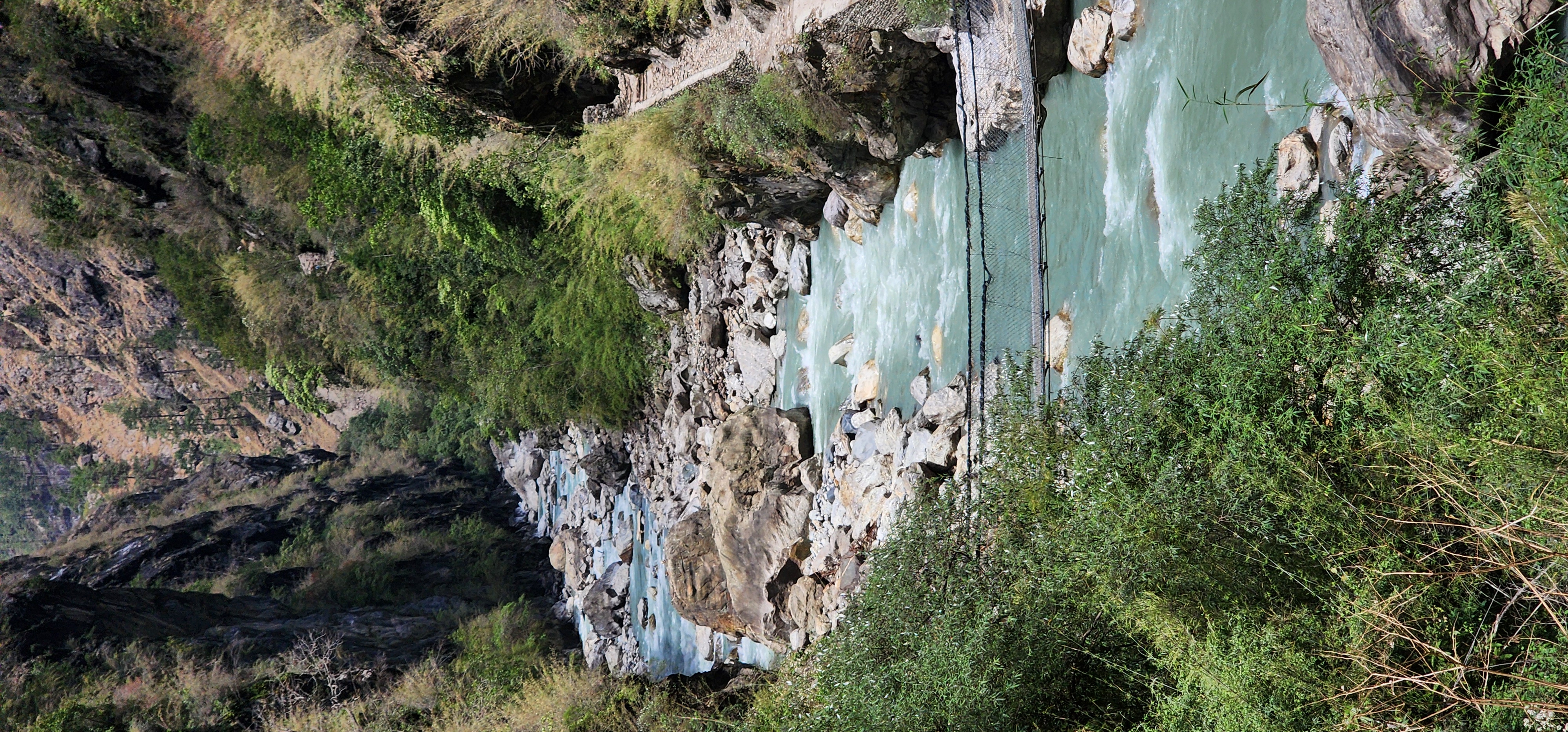
The first real trekking day on the Manaslu Circuit Trek, and the elevation chart undersells it completely. The trail hugs cliff faces above the Budhi Gandaki on a narrow, sometimes exposed cut path, with the river running fast and loud several hundred feet below. You cross several suspension bridges that sway more than you expect, walk short stretches of loose, rocky riverbed where the trail drops close to water level, then climb back onto forested slopes thick with pine, bamboo, and rhododendron.
A hot spring at Tatopani sits roughly two thirds of the way through, right on the riverbank, and it is worth the stop if timing allows. A hot soak on day three does real work on legs that are only just starting to remember how walking uphill feels.
Jagat is where the Manaslu Conservation Area officially begins, and the first checkpoint that genuinely checks your papers rather than waving you through. An official copies your permit numbers into a physical ledger by hand, a process that takes a few minutes if the office is quiet and closer to half an hour if a large group came through just ahead of you, so build a little slack into your afternoon here. It is also the last village with a proper multi shop bazaar feel before the trail narrows into something quieter.
Day 04: Jagat to Lokpa
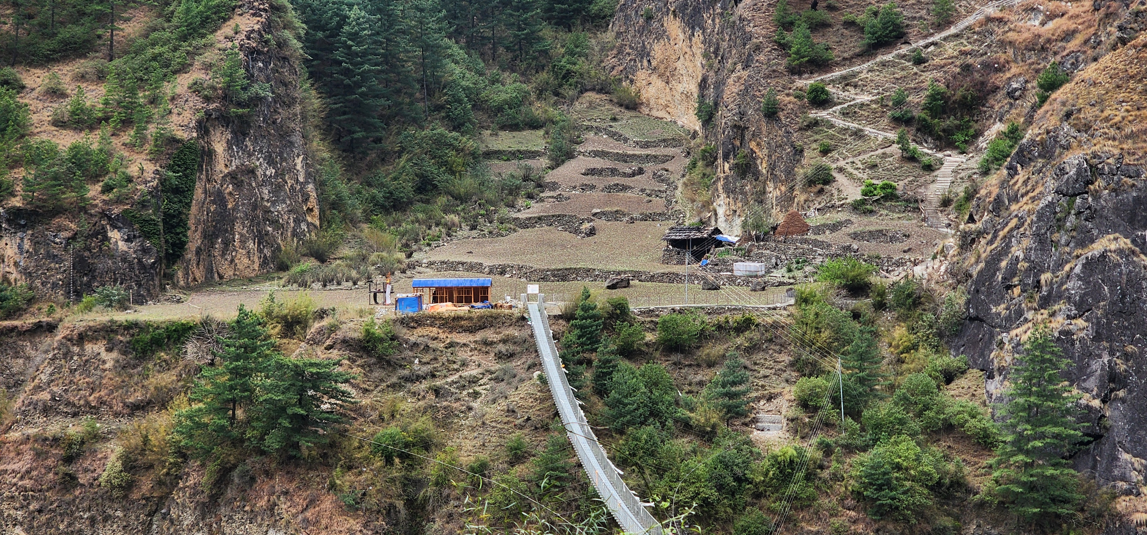
This is the day the Manaslu Circuit Trek splits from its classic route and pulls you toward Tsum Valley, and it is a genuinely demanding one. The trail climbs through Philim, a wide Gurung village with broad stone paved streets and terraced fields on both sides, easy, flat walking for a short stretch that feels like a reward before the real work starts. Past Philim the trail narrows again near Ekle Bhatti, and then the climbing begins in earnest, close to 900m of sustained gain through dense forest on a series of long switchbacks, the kind where you settle into a slow, steady rhythm and stop looking up to check how much further.
Brace yourself a little on this one. It is not technical, just long and relentless, and your legs will know exactly what day four felt like by the time you reach the top.
Lokpa itself is small, sitting on an open ridge with the forest finally breaking to give you a proper view back down the valley. It functions as a junction more than a destination, one you will pass through twice, once heading into Tsum Valley and once coming back out toward Deng a week later.
Day 05: Lokpa to Chumling
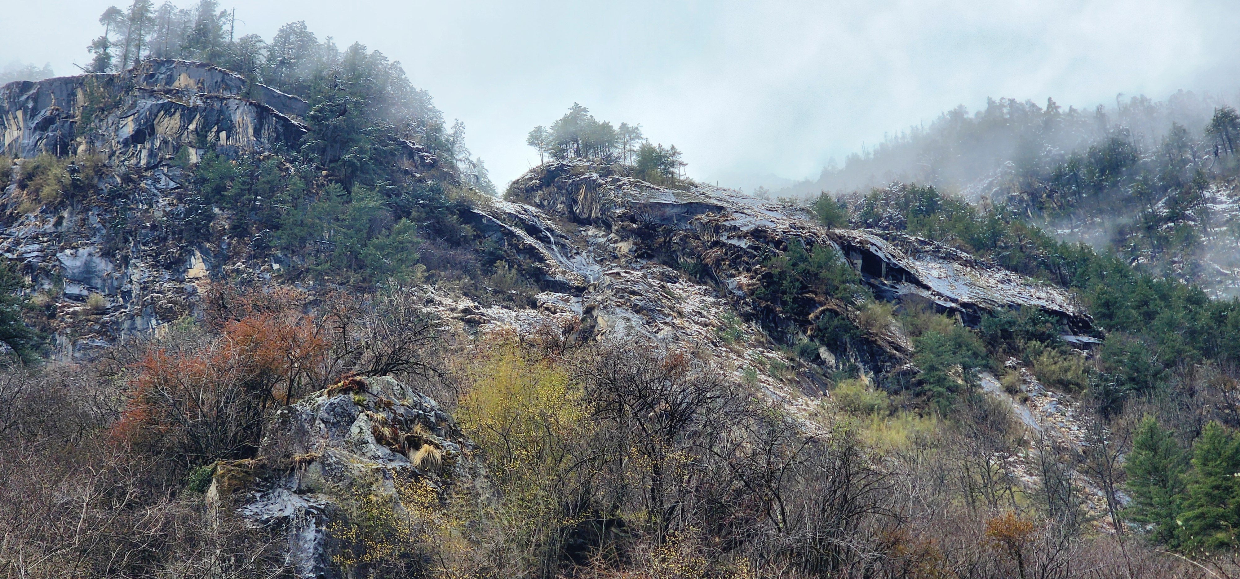
A shorter, gentler day after yesterday's grind, and the day Tsum Valley actually announces itself. The trail drops off Lokpa's ridge and picks up the Shiar Khola, the river that will guide you for most of the Tsum loop, running through a narrow gorge where the valley walls close in enough to block the sun for long stretches of the morning.
This is also where the character of the trek shifts for good. Mani walls and chortens start appearing at every turn in the trail rather than as occasional landmarks, always passed on the left, a habit your guide will remind you of if you forget. Script on the stones changes too. Tibetan script replaces the Devanagari you have been seeing since Kathmandu, an early, visible sign of how separate this valley has always been from the villages below Jagat.
Chumling is small, the first proper Tsum village on the route, sitting on a shelf above the river with a modest gompa above the main cluster of houses. It is not much to look at from the trail, but it is worth remembering as the first place on this trek where you are unmistakably somewhere else.
Day 06: Chumling to Chhokangparo
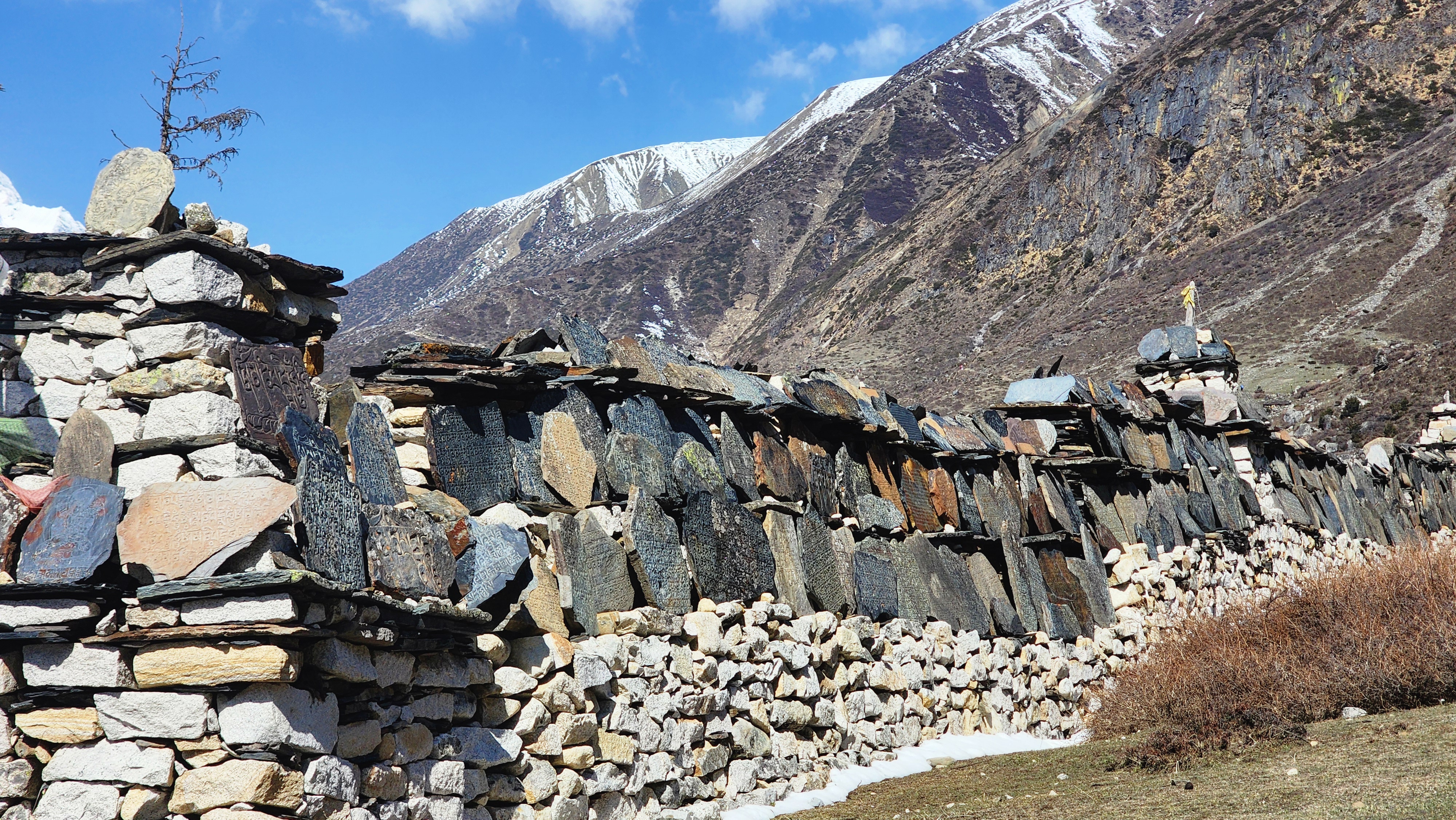
The longest single climb of the Tsum Valley section on this Manaslu Circuit Trek, close to 650m of gain. The trail moves through pine and juniper forest that thins as you climb, opening onto wide terraced fields of barley and potato worked by hand on slopes steep enough to make you wonder how anyone farms them. On clear stretches, Ganesh Himal appears above the ridgeline to the west, close enough that it stops conversation for a minute.
It is a long, steady grind rather than a technical day, slow walking on a wide dirt trail that rarely flattens for long. Not dangerous if you keep the pace and drink enough water, but the first day on this trek where a headache by evening deserves real attention rather than a shrug. You will also notice the vegetation thinning out faster here than the elevation alone explains. Manaslu and the ridgeline around it block a good share of the monsoon from reaching Tsum Valley, so the upper valley stays noticeably drier than the forested lower trail near Jagat, closer in feel to the trans Himalayan valleys further west than to the rest of central Nepal.
Chhokangparo, also written Chhekampar, is the largest settlement in Tsum Valley. A local lama named Kongchog spent 26 years in meditation retreat near here before his death.
Headache, mild nausea, or unusual fatigue tonight should go straight to your guide, not get filed under tiredness. This is exactly the kind of day symptoms build quietly overnight.
Day 07: Chhokangparo to Nile
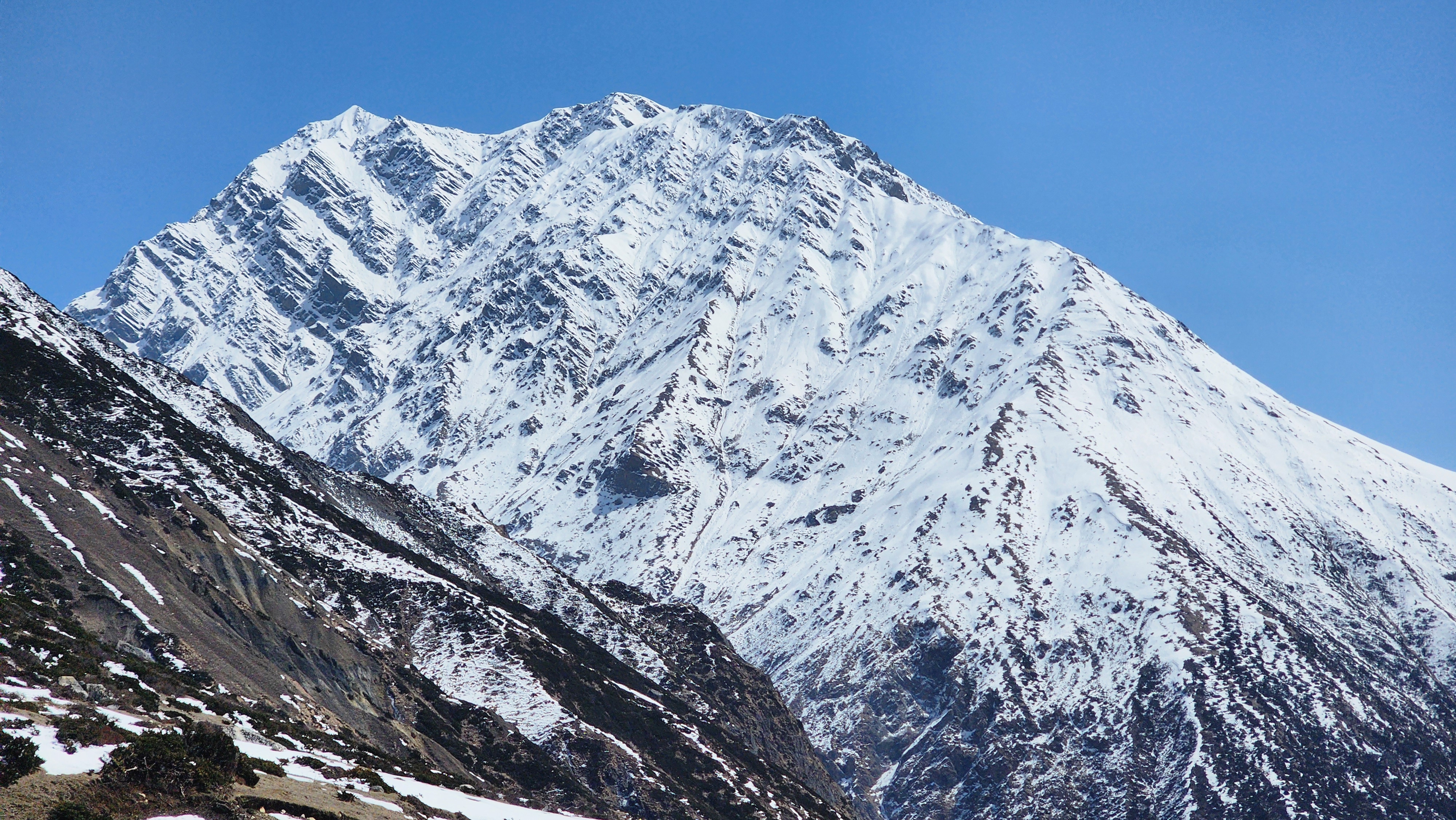
A deliberately gentler day after yesterday's climb, and a welcome one. The trail passes near Milarepa's Cave, where the 11th century Tibetan yogi is said to have meditated for years, a short, rocky side scramble up to the entrance if energy allows. Beyond that, the trail flattens out almost completely, running along the wide, open floor of the Syar Khola valley, dry underfoot, sparse juniper scrub replacing the denser forest of the last few days, with long views back toward Ganesh Himal that stay in sight for hours rather than minutes.
Nile is small and properly cold once the sun drops behind the ridge. Teahouses here are basic, one or two options rather than a real choice, a preview of what accommodation looks like for the rest of the Tsum Valley loop.
Day 08: Nile to Mu Gompa
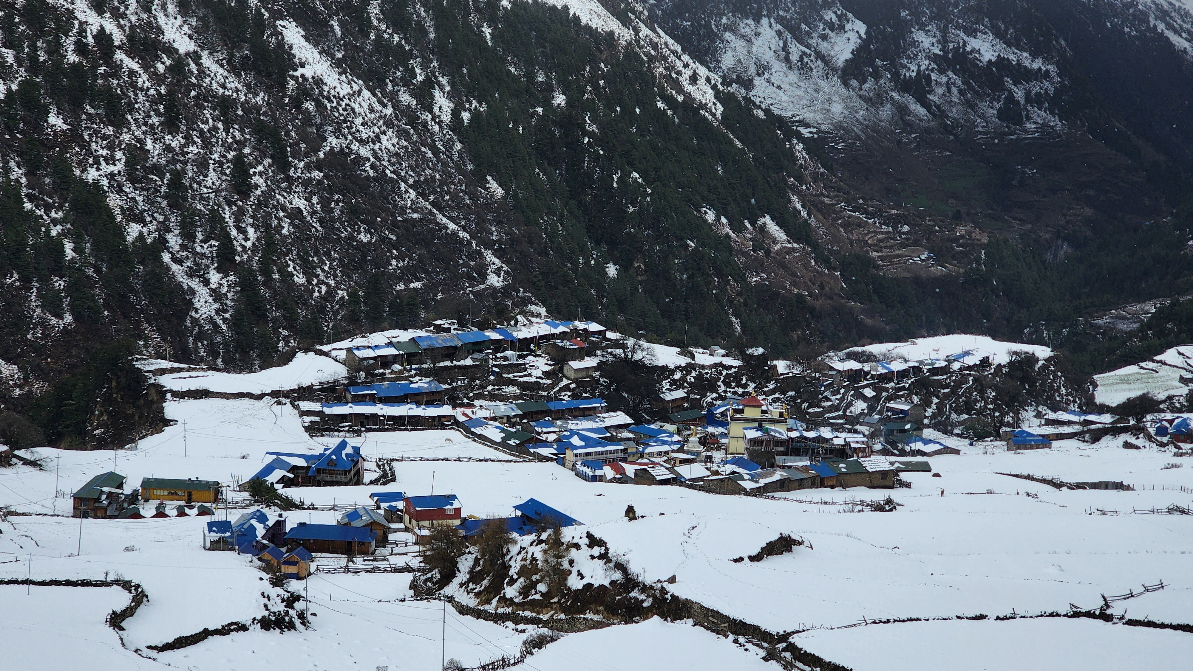
We leave the main bags in Nile and climb with just a light day pack. The trail rises through dry, high altitude terrain that has properly shifted character by now, barren, wide open slopes lined with chortens and strings of prayer flags, closer in feel to the Tibetan plateau than to anything lower on the Manaslu Circuit Trek. It is a steady, gradual climb on a wide, easy to follow trail, more about the thinning air than the gradient. Mu Gompa is the largest monastery in Tsum Valley, home to close to a hundred monks in season.
This is the highest point of the entire Tsum Valley loop, still roughly 1,400m below Larkya La. It helps your body adjust for what is coming. It does not replace the dedicated acclimatization days waiting later in the trek.
Day 09: Descend to Chhokangparo
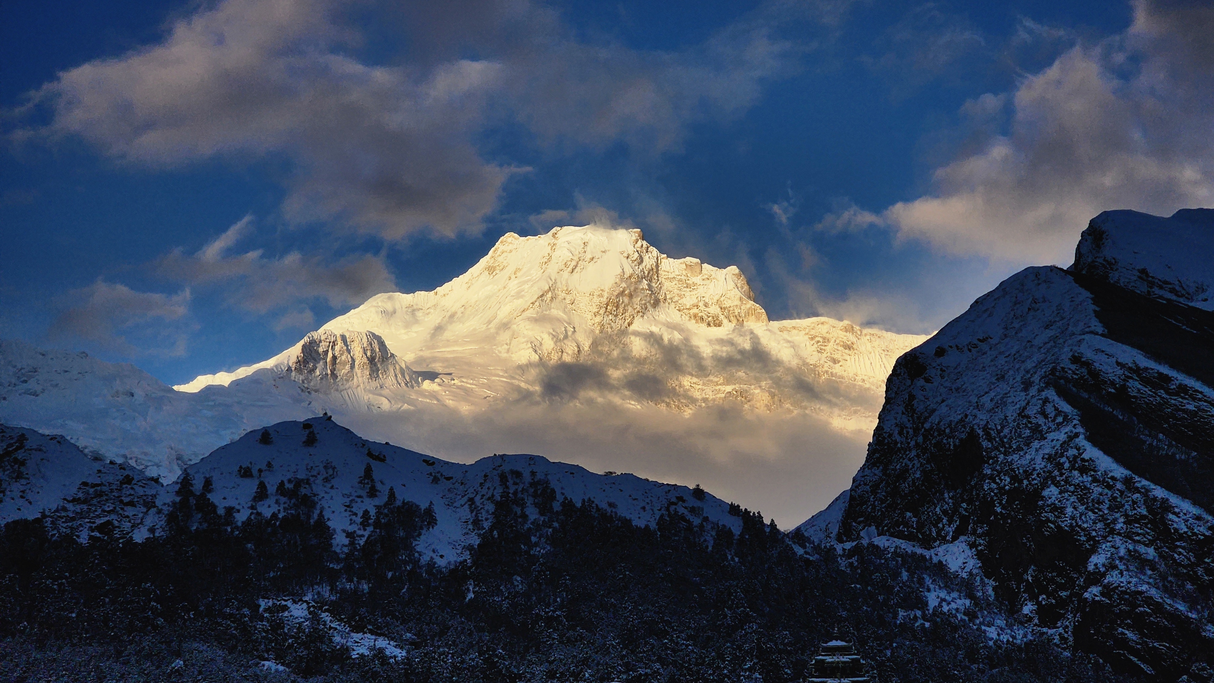
A long descending day, retracing the same trail through Nile and Lamagaon, and it feels completely different in reverse. Villages barely noticed on the way up become the main event heading down, since you are no longer fighting altitude gain and can actually look around instead of watching your feet. The trail itself is the same mix of open valley floor and forest switchbacks as before, but downhill on loose, dry dirt puts far more strain on the knees than the climb did on the lungs.
Trekking poles earn their cost today more than almost anywhere else on this route.
Day 10: Chhokangparo to Lokpa
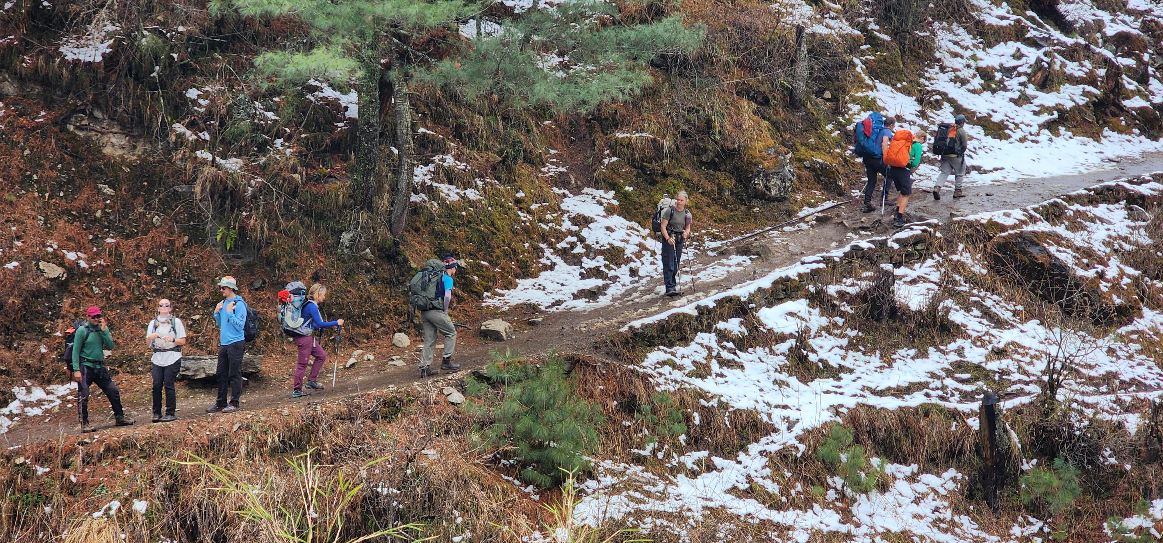
Long in distance but mostly gentle in gradient, a mix of easy downhill and flat, rolling sections back through Chumling, with the option of a second look at Panago and Gurwa gompas. The trail narrows through the same gorge like squeeze near Chumling, opens onto forest, then closes in again before the final climb back up to Lokpa's ridge.
This closes the Tsum Valley loop, and most trekkers describe this as the day Tsum starts feeling like a memory rather than a place they are still standing in. It is also, frankly, a long day to be walking, so expect tired legs and a very welcome dinner.
Day 11: Lokpa to Deng
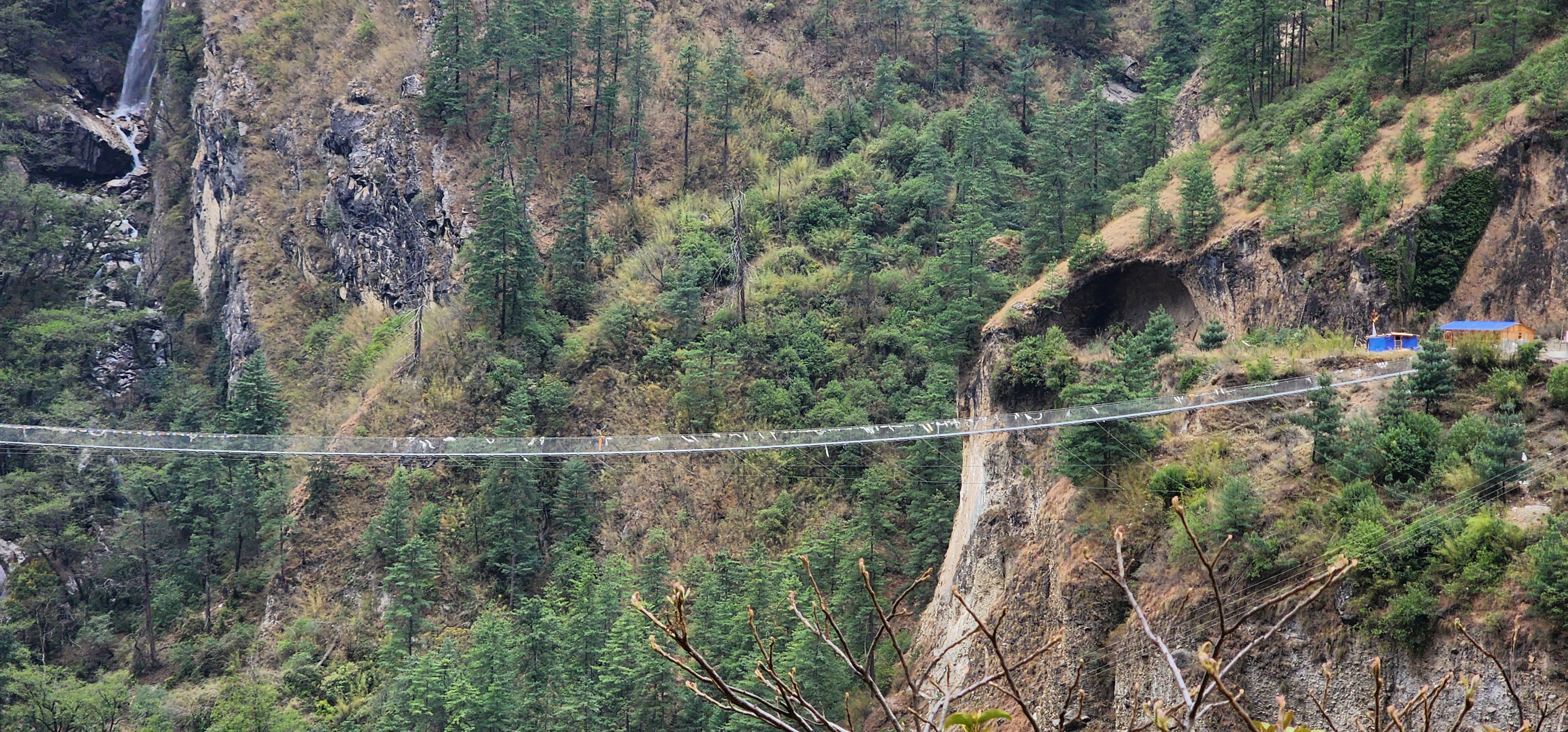
Some shorter Manaslu Circuit Trek itinerary summaries skip naming this stop, but you will sleep here regardless. Walking straight from Lokpa to Namrung in one push is close to 30km with a large elevation regain, and no serious operator runs it as a single day. The trail drops steeply off Lokpa's ridge into forest, crosses the Budhi Gandaki on a couple of the taller, more exposed suspension bridges on this route, then climbs back up the far bank through mixed pine and broadleaf forest to Deng.
Deng marks re entry onto the classic Manaslu Circuit Trek trail, small, quiet, and noticeably more Tibetan in character than the villages closer to Jagat. The Manaslu RAP gets checked again here.
Day 12: Deng to Namrung via Ghap

One of the physically harder days on the whole Manaslu Circuit Trek, terrain rather than altitude. The trail climbs through dense, humid bamboo forest, narrow and shaded, then crosses Rana and Bihi Phedi on more suspension bridges over fast side streams. Past Bihi Phedi the trail crosses a long stretch of loose, steep scree below unstable valley walls, a naturally active slope that guides watch closely, and where the sensible move is to keep moving rather than stop for photos. White faced langur monkeys are common here and not remotely shy about coming close looking for food.
Ghap is the lunch stop, sitting in a narrow pinch of valley with an older, quieter feel than villages further down. From Ghap, the trail widens and climbs the final stretch into Namrung, a proper town by Manaslu standards, with a police checkpoint, working wifi, and a small memorial park called Milarepa Park, completed in 2024. Namrung's mixed Bhotia, Gurung, Sherpa, Rai, and Tamang heritage still traces back to its history as a stop on old regional trade routes.
Day 13: Namrung to Shyala
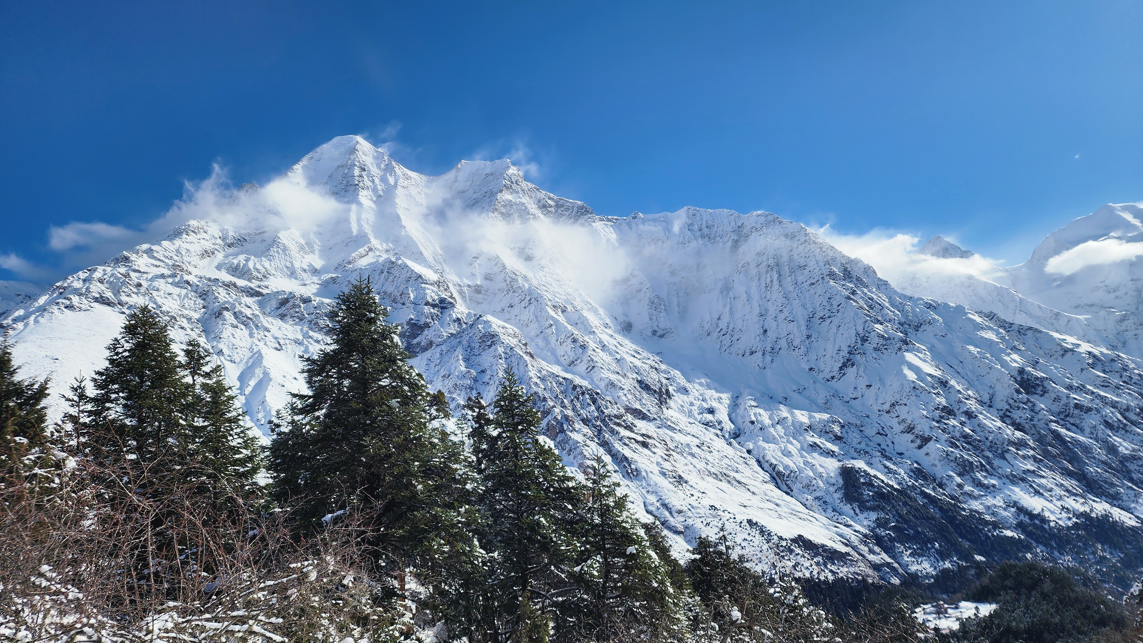
Manaslu finally shows up properly on this stretch of the Manaslu Circuit Trek. Relatively flat, easy walking through Lihi and Sho on wide dirt trail through open, terraced farmland gives way to a valley that opens dramatically as you approach Lho. Manaslu itself, 8,163m, comes into full view for the first time, alongside Manaslu North and, on a clear day, distant glimpses of Himal Chuli and Ngadi Chuli. If you have done Everest Base Camp, this is roughly the same jolt as the first clear view of Everest past Tengboche, except here you are usually the only group stopped on the trail to look at it. Ribung Gompa sits just above Lho on a short, steep side climb worth the extra effort, both for the monastery and the view back down the valley. Old watchtowers still stand along this stretch, once built for defense, now mostly useful for spotting Himalayan bears rather than trouble.
Shyala has some of the newest, sturdiest lodges on the route, and Naike Peak and Manaslu North frame the village so directly that most trekkers say the view from their teahouse window here rivals anything later on this trek.
Day 14: Shyala to Samagaon via Pungyen Gompa
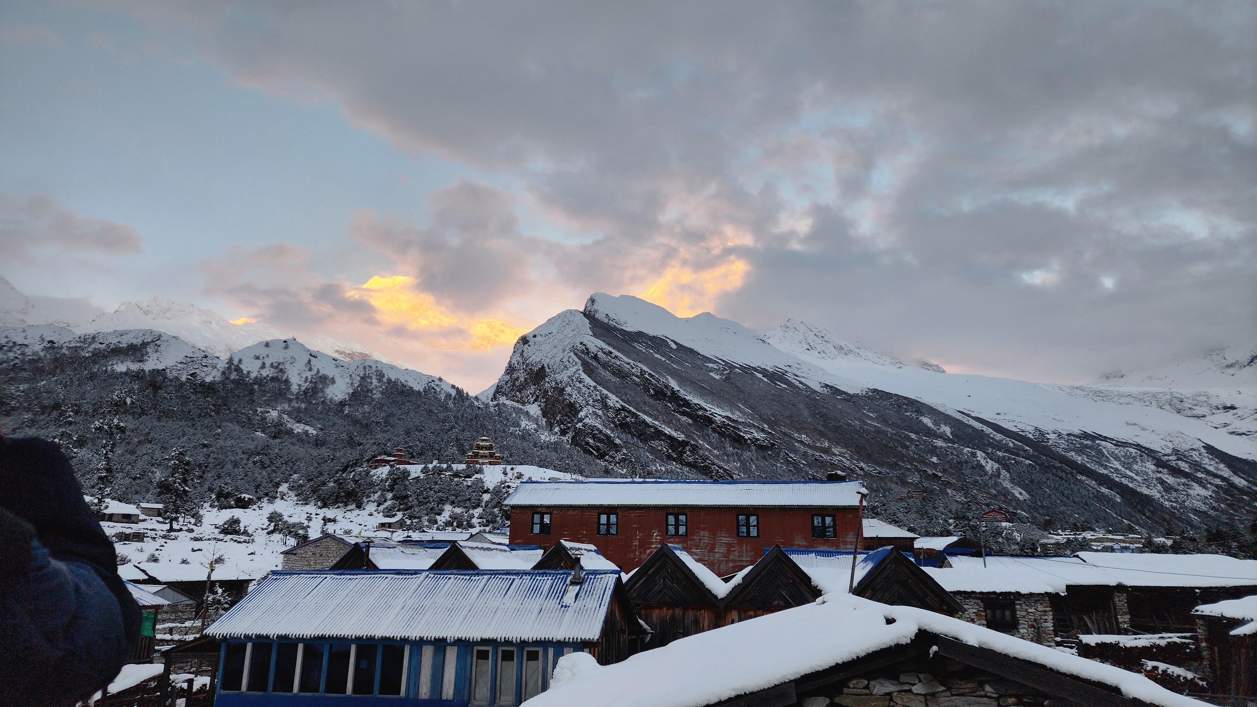
Pungyen Gompa sits around 4,050m, up a steep side trail across rocky, moraine adjacent ground close to the Manaslu glacier, a built in climb high sleep low day. The detour rewards you with close views of the glacier from an angle the main valley floor never offers. From there, the trail drops back down through high pasture to Samagaon, a large, Tibetan influenced village that has served as the staging point for Manaslu expeditions since a Japanese team made the mountain's first ascent in 1956, a fact that still shapes the village's identity and its steady stream of climbing permits each season.
Samagaon has more infrastructure than anywhere since Namrung, several teahouses and a proper bakery in most seasons, enough that it can feel almost busy after ten quiet days.
Day 15: Acclimatization Day in Samagaon
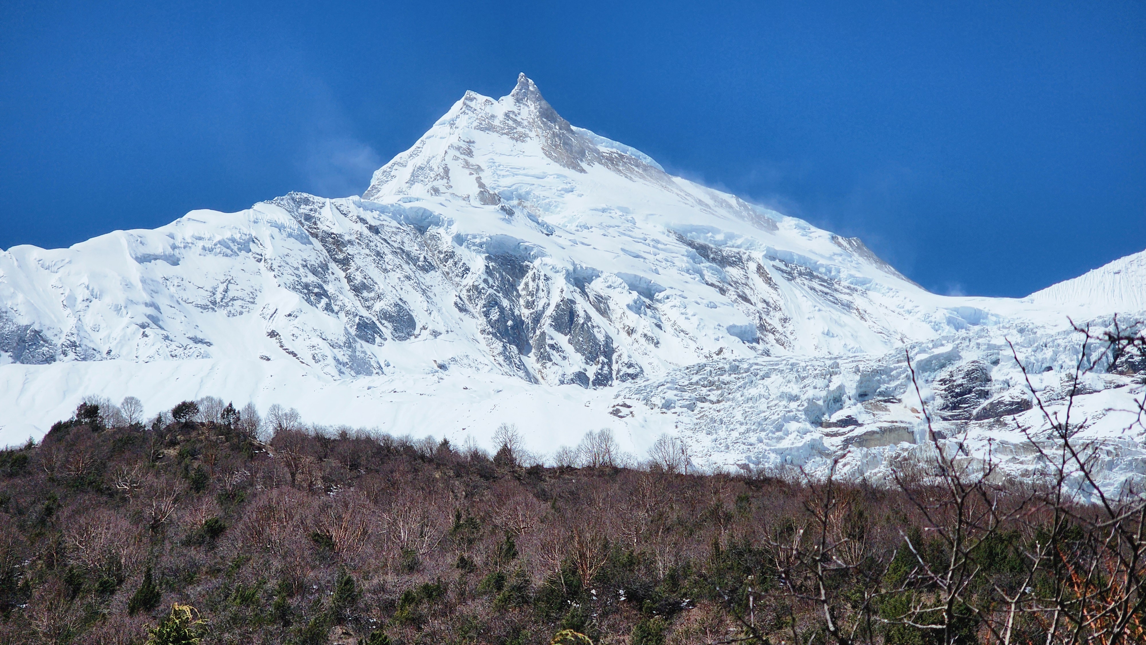
Most groups hike to Manaslu Base Camp at 4,800m, an eight hour round trip across rocky moraine and glacial outwash plain, boulder hopping in places, ending close enough to the Manaslu icefall to hear it move. The shorter option to Birendra Lake at 3,690m is an easier, lower effort walk along a clearer path, still rewarded with a genuinely striking glacial lake framed by ice cliffs. Both apply the climb high sleep low principle that governs every serious high altitude itinerary in the Himalaya.
What Actually Matters Here
It is not about reaching Base Camp specifically. It is about spending a few hours higher than you sleep tonight. Even a partial walk toward Birendra Lake does the job if weather or energy rules out the full hike.
Day 16: Samagaon to Samdo
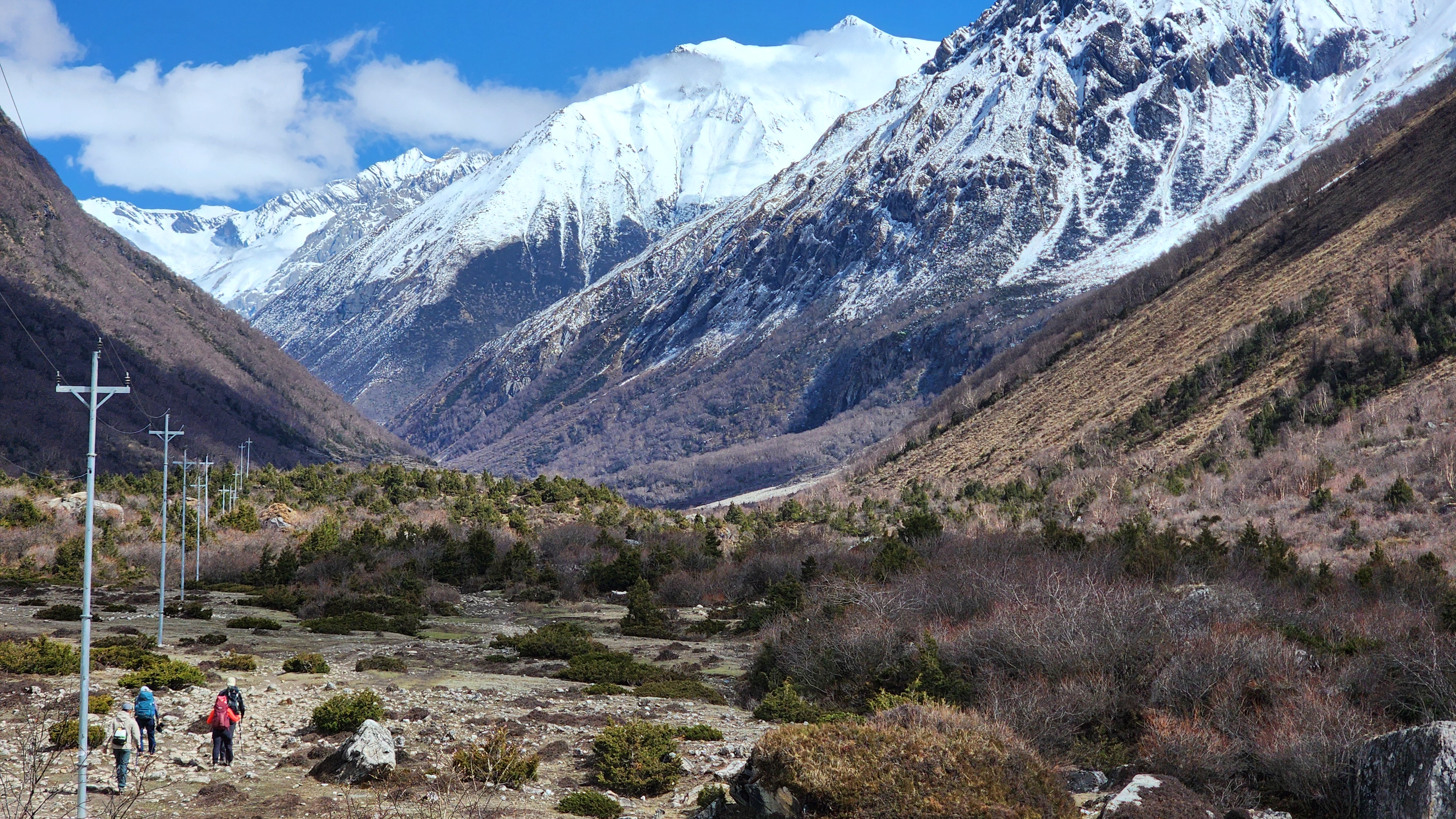
The shortest walking day since Nile, deliberately so. The trail follows the Budhi Gandaki upstream through increasingly sparse alpine terrain, gentle underfoot, wide open valley floor with little in the way of real climbing, easy walking that still leaves you a little breathless simply from the altitude. Samdo is the last permanent settlement on this side of the pass, carrying a distinctly Tibetan character from its history as a trading post on the salt route into Tibet, and locals here still cross nearby border passes for trade in some seasons.
This short, easy day is your last real read on how your body is handling the altitude before things get serious.
Day 17: Samdo to Dharmasala
Dharmasala, also called Larke Phedi, is the highest overnight stop on the entire Manaslu Circuit Trek, and the facilities show it, usually one large dormitory style lodge, thin walls, a limited menu, nothing else around it for miles. The trail up from Samdo climbs steadily through barren, rocky, high altitude desert past the old ruins of Larke Bazaar, a reminder this route has been a trade corridor far longer than a trekking trail. There is no forest left by now, no shade, just open ground and thin, cold air.
Above 4,000m breathing gets noticeably harder even on flat ground, and most guides deliberately slow the pace here rather than rush to get the day over with.
Day 18: Dharmasala to Bhimthang, via Larkya La Pass
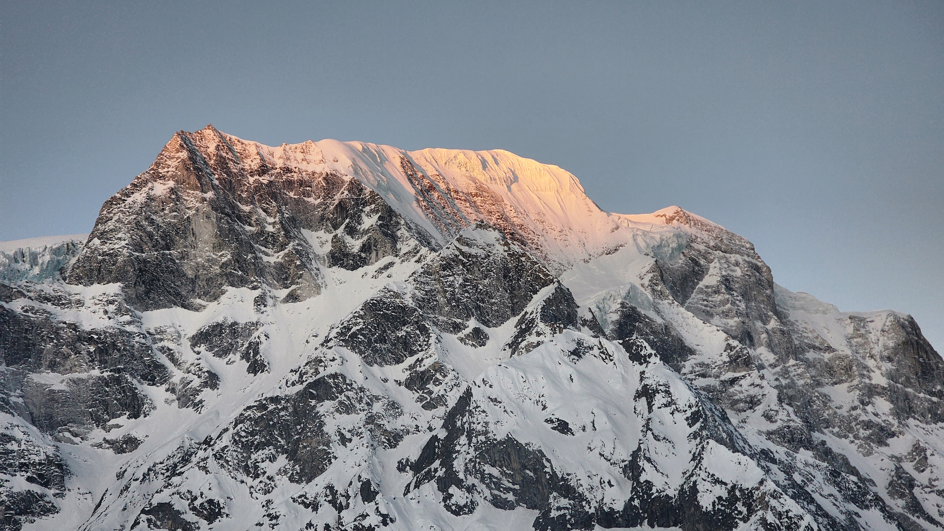
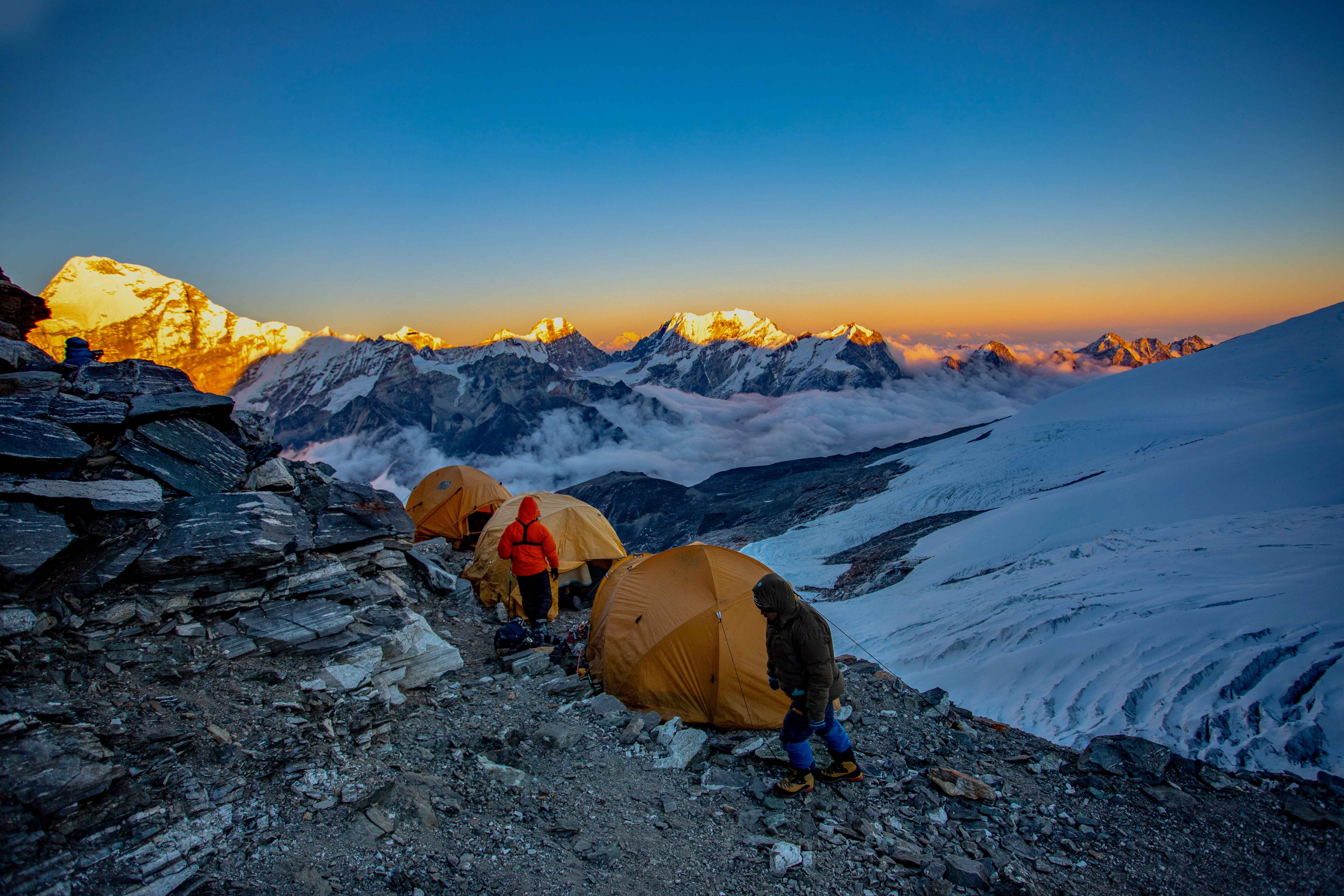
The day the entire Manaslu Circuit Trek has been building toward. Most groups leave between 3 and 4am, headlamps on, temperatures below -10°C, chasing a genuine weather window. Mornings are usually calm and clear. By late morning, cloud builds and wind picks up fast, a pattern that holds regardless of how clear the sky looked the evening before. Cold enough at that hour that lithium batteries lose charge fast, so keep spares in an inside pocket against your body rather than in your pack, and the same goes for any camera or phone you plan to use at the top.
The terrain shifts three separate times across the day. First, loose rocky moraine underfoot, slow and ankle rolling in the dark. Then snowfields, hard packed in autumn, softer and deeper in spring, where microspikes or crampons come out depending on conditions your guide checks that morning. Finally a steep, grinding final push on rock and packed snow to the summit itself, marked by a dense cluster of prayer flags snapping hard in the wind.
From the top on a clear morning, the full Manaslu massif sits at close to eye level, alongside Himlung Himal, Cheo Himal, and a distant edge of the Annapurna range to the south. Nobody lingers. Wind chill at 5,106m makes even a ten minute stop uncomfortable, and the descent side is long, steeper and looser than the climb, running through glacial moraine past the edge of the Ponkar Glacier before the ground finally softens into green meadow near Bhimthang. Grey rock and ice give way to alpine grassland in the space of a few hours, one of the most dramatic single day terrain shifts on any standard trekking route in Nepal.
Weather is the Real Variable, Not Fitness
Clear skies at Dharmasala the evening before do not guarantee a clear pass at dawn. There is no village between Dharmasala and Bhimthang and no bailout option once you commit. If your guide says wait a day, that decision has almost always been made for good reason.
Day 19: Bhimthang to Gho
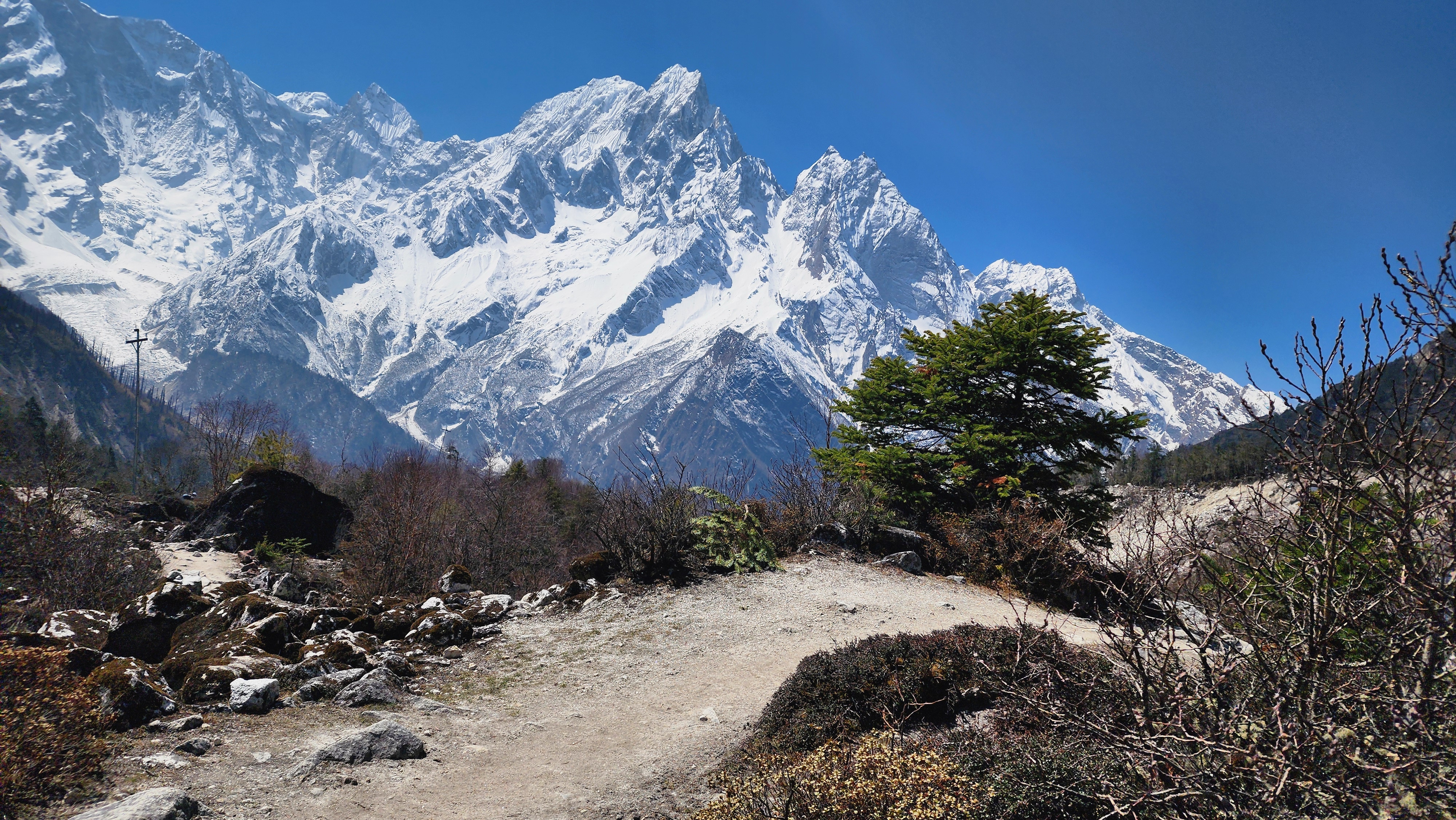
A gentle, decompressing day, and a welcome one after yesterday. Bhimthang sits in open meadow with Manaslu visible behind you and Himlung Himal ahead, one of the more underrated campsites on this entire route, worth a slow morning if the itinerary allows it. The trail down to Gho drops through rhododendron and pine forest on an easy, well graded path, rejoining a greener, gentler landscape after days of rock, snow, and high alpine ground.
Day 20: Gho to Tilje, Drive to Pokhara
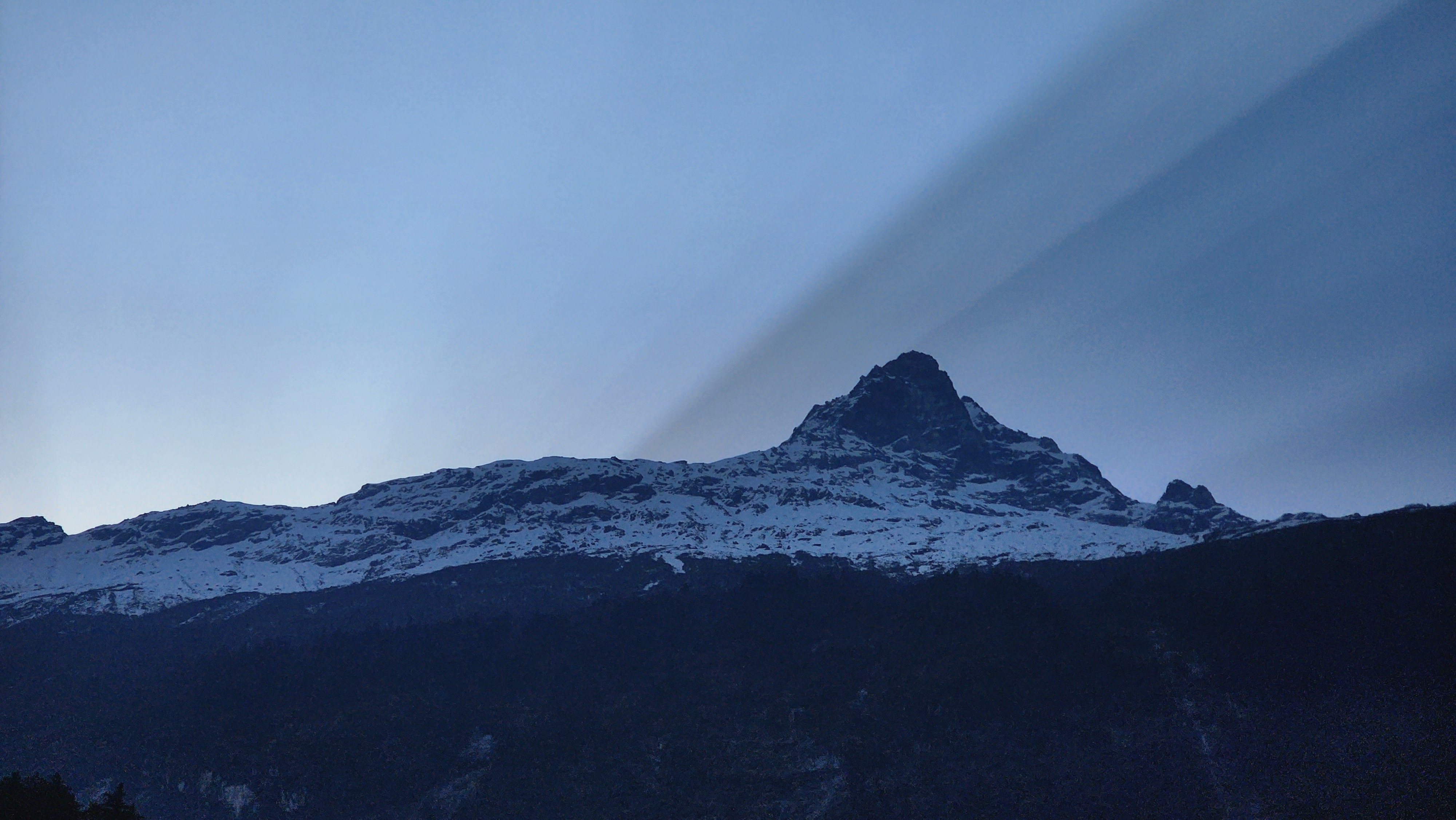
The walk from Gho to Tilje is short and easy, dropping gently through forest and small terraced farms rather than climbing, a good last stretch to cover without watching your feet the whole way down. Tilje sits right where the Manaslu Circuit Trek's foot trail meets the road network coming up from the Annapurna side, and it is here that ACAP gives your permit its final check of the trip.
From Tilje, the trek switches from boots to wheels. Most groups take a jeep down through Dharapani and Besisahar, a long, winding drive that follows the Marsyangdi river most of the way, dropping from alpine forest back through terraced hillsides and eventually into Pokhara's lakeside warmth. The first hot shower and a real mattress after nineteen straight nights on the trail tends to land harder than you expect it to.
Day 21: Drive back to Kathmandu
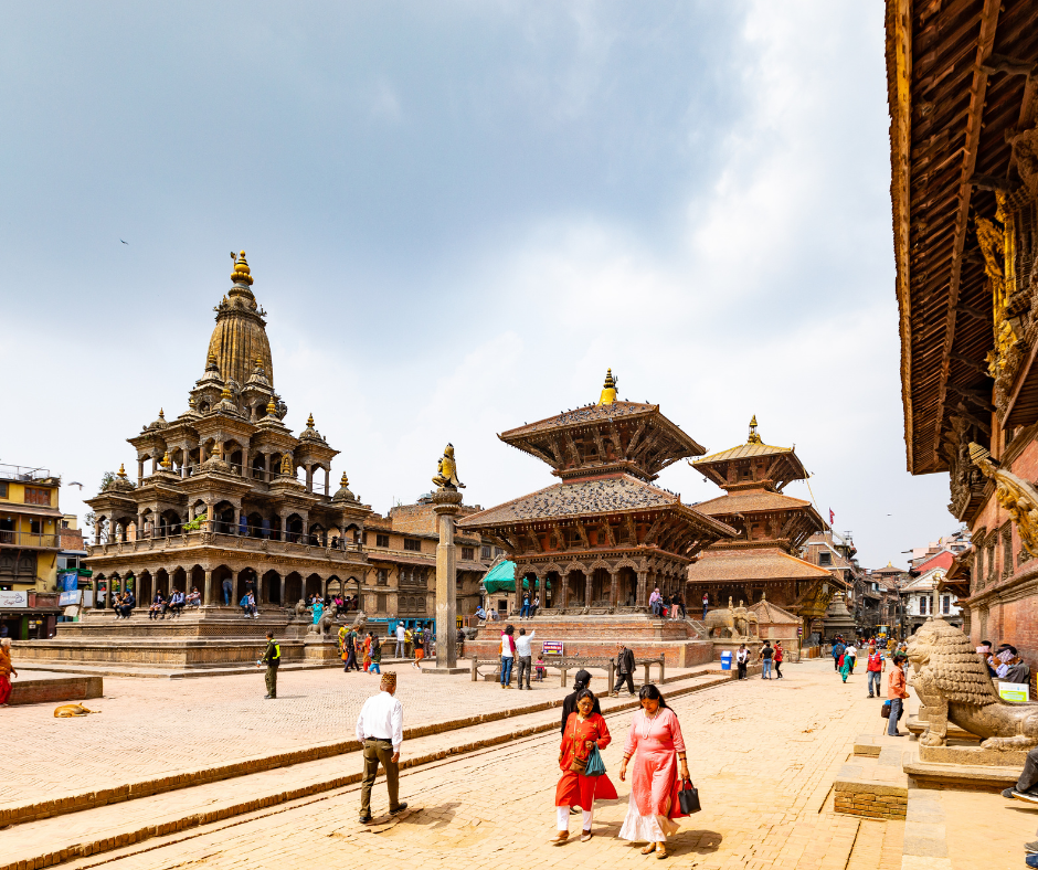
The drive back to Kathmandu retraces the Prithvi Highway, the same road out of the city on day two, only now it runs the other direction and past a body that has spent nineteen days walking instead of sitting.
Kathmandu on arrival feels loud in a way it did not on day one, traffic, horns, the particular smell of the Ring Road, all of it landing harder after three weeks without it. Evening is free. Return any rented gear, and if the day's travel allows it, a closing dinner with your guide, the kind where the trek gets talked through properly for the first time rather than lived through one day at a time.
Day 22: Departure
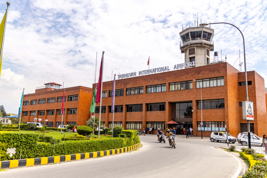
Transfer to Tribhuvan International Airport, timed against your flight home. If there is a gap in the morning, it is worth spending it on foot rather than in the hotel, one last walk through Thamel or down to Durbar Square, the kind of ordinary city walking that felt impossible to imagine three weeks ago at Dharmasala.
This is where the trip closes. Not at Larkya La, not at the first hot shower in Pokhara, but here, on a street you first walked on day one, seeing it differently now than you did then.
Food and Accommodation on the Manaslu Circuit Trek
Below Jagat, rooms are simple but comfortable, often ensuite, with wide menus. From Jagat to Namrung, choices narrow and prices creep up, though wifi and hot showers are usually still available for a fee. Above Samagaon, and through the whole Tsum Valley loop, expect shared facilities, cold rooms, and charging that is limited or absent. Wifi up here is sold by the hour in some places and works when it feels like it in most others, and you will not miss it as much as you expect to. Dharmasala is the extreme end of the Manaslu Circuit Trek, one lodge, nothing else for miles. Dal bhat is the reliable meal at every altitude, refilled without extra charge, and still the smartest thing to order most nights, whatever the menu tries to tempt you with instead. Treat water above 3,500m regardless of how clean the source looks.
Best time to visit Manaslu Circuit Trek
Two windows work best on the Manaslu Circuit Trek, March to May, and September to November. Outside those months, Larkya La can close for days under fresh snow, and monsoon brings landslide risk to the lower valley with near zero visibility above 3,500m. Autumn gives the clearest views and the coldest nights at Dharmasala. Spring brings milder lower temperatures and blooming rhododendron through Tsum Valley, at the cost of earlier afternoon cloud.
For the full month by month breakdown, exactly how cold Dharmasala gets in each window, and where the danger sections shift by season, read our complete best time to visit the Manaslu Circuit Trek guide. For prices, menus, and what wifi and charging actually cost at each stage, read our Manaslu Circuit Trek food and accommodation guide.
So, Is This Yours to Walk?
Twenty-one days is a real commitment, and the Tsum Valley extension specifically is not a box to tick. It is a slower, quieter trek than the main circuit alone, and it is worth choosing for that reason, not just to say you did both.
If you have read this far and the remoteness sounds like the actual draw rather than something to get through, this is very likely your trek. If what you want most is simply to stand on Larkya La in the fewest days possible, the classic Manaslu Circuit Trek without the Tsum Valley loop covers that ground on its own, and it is a perfectly good way to do this trek.
Either way, talk to us before you book anything. Tell us your rough dates and what you have trekked before, and we will build the acclimatization schedule around you rather than hand you a template built for a stranger's fitness.
KEEP EXPLORING
Uncover similar insights
Day-by-Day Demands, Training Plan, and Mental Grit